

Hema Australia Road & Terrain Map Laminated Tubed 1000x875mm
Not available at this time or sold in-store only.
A map of Australia that’s coloured to reflect the country’s distinct climate zones. Marked on the mapping are major road networks, Outback fuel, distances and major national parks, which in combination with the map’s visual appeal make it perfect as either a trip planner, a decorative map or an educational tool.
Related Items

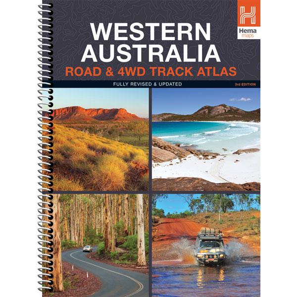
Hema Western Australia Road & 4WD Track Atlas - 3rd Edition
$30.00 $34.95
Discover Australia’s largest state with the Western Australia Road & 4WD Track Atlas. Plan and navigate your trip with state-wide atlas mapping, which includes detailed...
View full product details
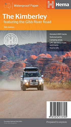
Hema The Kimberley Map
$14.95
Save $17.85 with the Kimberley 4WD Pack! A regional map of the Kimberley that features the iconic Gibb River Road. On the reverse are inset maps...
View full product details
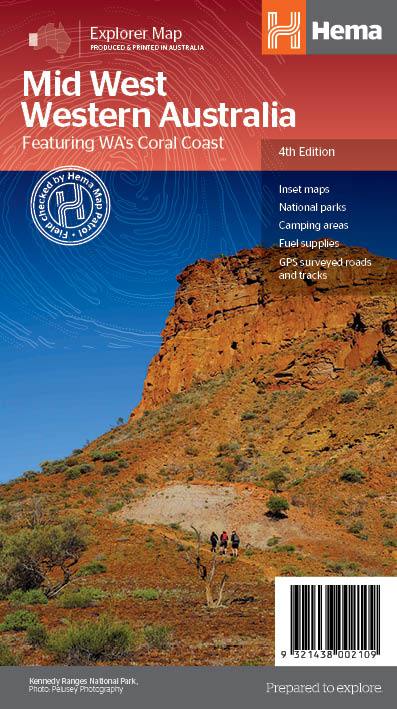
Hema Mid West Western Australia Map
$14.95
Hema Mid West Western Australia Map Mapping of Mid West Western Australia (WA) that has camping areas, national parks, fuel supplies and facility symbols marked on...
View full product details