

Hema Western Australia State Map
Not available at this time or sold in-store only.
A map of Western Australia (WA) for touring throughout the state that has camping and rest areas, 24-hour fuel and points of interest marked on the mapping. On the reverse are CBD and through road maps of Perth in addition to inset maps of Leeuwin-Naturaliste National Park, Cape Range National Park, Nambung National Park, Francois Peron National Park, Purnululu National Park, Walpole-Nornalup National Park and Karijini National Park. Also included are listed national parks and information centres within Western Australia.
Related Items

Bibbulmun Track Maps
$12.95
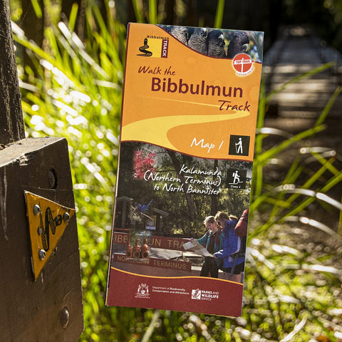
Map 1 - The Darling RangeThis map extends from Kalamunda (Northern Terminus) to North Bannister Map 2 - DwellingupThis map extends from North Bannister to...
View full product details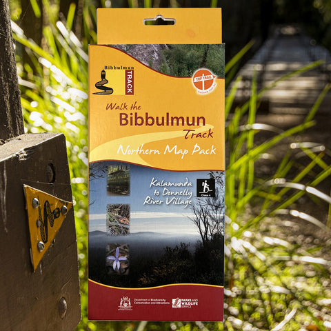


Bibbulmun Track Maps - Northern Map Pack 1-4
$39.95
Walk the Bibbulmun Track! This series of four maps covers the 502km northern section of the Bibbulmun Track between the Northern Terminus situated in Kalamunda...
View full product details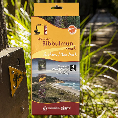


Bibbulmun Track Maps - Southern Map Pack 5 - 8
$39.95
This award-winning, world-class 1060km walking track stretches from the Perth Hills to Albany and traverses the most beautiful natural areas of Australia's south-west. It provides...
View full product details