


Hema Western Australia Road & 4WD Track Atlas - 4th Edition
$44.95
Embark on a grand exploration of Australia’s largest state with the Hema Maps Western Australia Road & 4WD Track Atlas. This comprehensive guide is your key to planning and navigating an unforgettable journey through WA, offering state-wide atlas mapping that spans the entire state.
This atlas unveils the topography of the region, providing detailed coverage for precise navigation. Discover incredible adventures with the top 50 4WD trips, each accompanied by track grading, distances, contact information and an atlas reference.
Immerse yourself in the natural beauty of Western Australia’s top 25 national parks, where you’ll find detailed information, including camping areas, activities, contact details, inset maps and unique features that make each park special.
This atlas goes beyond the beaten track, offering insights into private camping areas and caravan parks, ensuring you have a range of accommodation options. An index and a list of accredited visitor centres within Western Australia add to the practicality of this guide. Whether you’re a seasoned 4WD enthusiast or a traveller seeking to uncover the wonders of WA, this atlas and guide is your comprehensive companion for an enriching and well-guided adventure.
Key Features
- Top 50 4WD Trips
- Top 25 WA National Parks
- Detailed mapping throughout the State (1:250,000)
- Caravan parks & dump points
- Camping and rest areas
- Truck Parking
- Visitor Centres
Key Specifications
Edition: 4th
Publication Date: 15/02/24
Number of Pages: 211
Height: 290mm
Width: 230mm
Depth: 20mm
Related Items

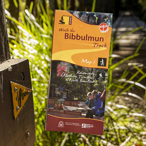
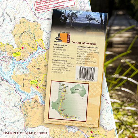
Bibbulmun Track Maps
$12.95
Map 1 - The Darling RangeThis map extends from Kalamunda (Northern Terminus) to North Bannister Map 2 - DwellingupThis map extends from North Bannister to...
View full product details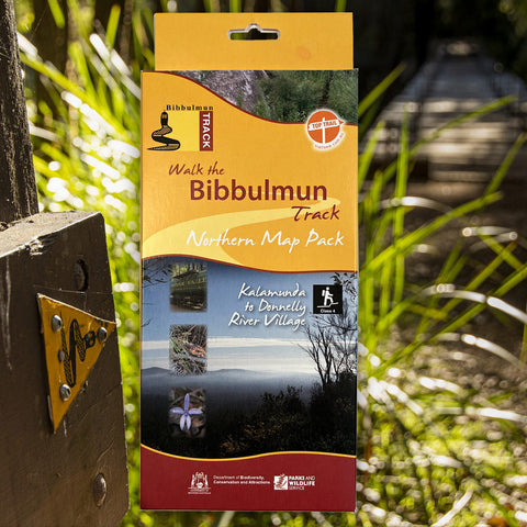


Bibbulmun Track Maps - Northern Map Pack 1-4
$39.95
Walk the Bibbulmun Track! This series of four maps covers the 502km northern section of the Bibbulmun Track between the Northern Terminus situated in Kalamunda...
View full product details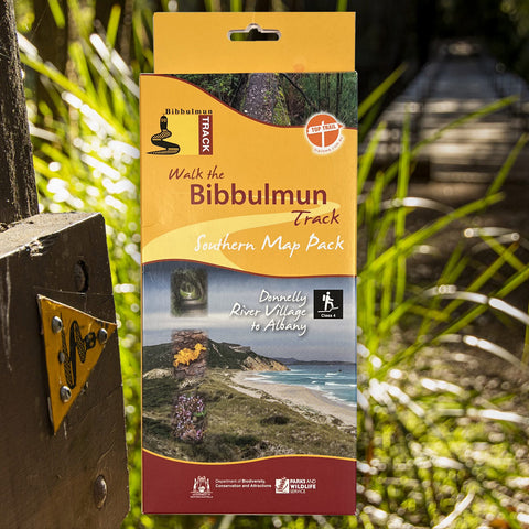


Bibbulmun Track Maps - Southern Map Pack 5 - 8
$39.95
This award-winning, world-class 1060km walking track stretches from the Perth Hills to Albany and traverses the most beautiful natural areas of Australia's south-west. It provides...
View full product details