
QPA Roads & Tracks WA 16th Edition
$39.95
The bible of tracks in WA...
Don't leave home with out it!
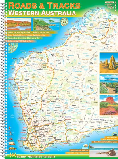
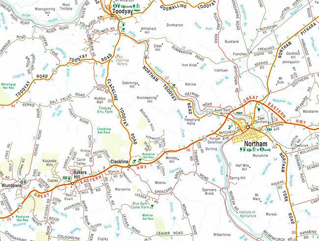
This is the 16th edition of our most popular road atlas of Western Australia. This up to date and definitive A4 sized spiral bound road atlas covers the whole state at varying scales. The very south west of the state is at 1:250 000, the greater south west area beyond that is covered at 1:500 000 and the rest of the state is covered at 1:1 000 000.
The book also contains lots of information on things to see and do throughout the area and several pages covering Perth at various scales. Another few pages are dedicated to illustrations of the state's multitude of flora and fauna.
The road detail of QPA maps is excellent, showing from major highways all the way down to unsealed roads, old tracks, 4WD only routes and walking trails. Useful and interesting places are shown in abundance including various attractions, fuel stops, accommodation, campsites, rest stops and fishing spots.
Elevation tinting shows the topography. Also included are average monthly temperature and rainfall charts for many areas.
The book conatins an extensive index covering roads, places, geographical features and national parks. Intermediate road distances are also shown on nearly every road.
Related Items

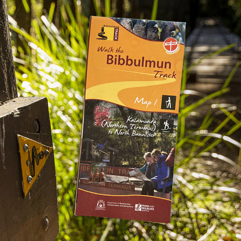
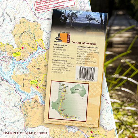
Bibbulmun Track Maps
$12.95
Map 1 - The Darling RangeThis map extends from Kalamunda (Northern Terminus) to North Bannister Map 2 - DwellingupThis map extends from North Bannister to...
View full product details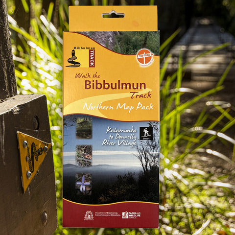


Bibbulmun Track Maps - Northern Map Pack 1-4
$39.95
Walk the Bibbulmun Track! This series of four maps covers the 502km northern section of the Bibbulmun Track between the Northern Terminus situated in Kalamunda...
View full product details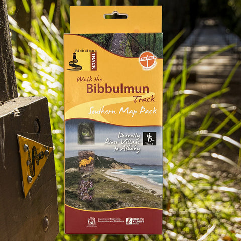


Bibbulmun Track Maps - Southern Map Pack 5 - 8
$39.95
This award-winning, world-class 1060km walking track stretches from the Perth Hills to Albany and traverses the most beautiful natural areas of Australia's south-west. It provides...
View full product details