

Walk the Wiilman Bilya Trail
$4.95
The trail winds through Wiilman country and Westralia Conservation Park to Wellington National Park and Wellington Dam, providing sweeping views of the Collie River valley and wide expanses of water.
Imposing granite outcrops and the scents and sounds of the magnificent yarri (blackbutt), marri and jarrah forest along with wildlife encounters offers a unique and unforgettable experience.
This must-have fold out map also contains important trail and safety information so that you can focus on enjoying the walk and its natural surrounds.
Related Items

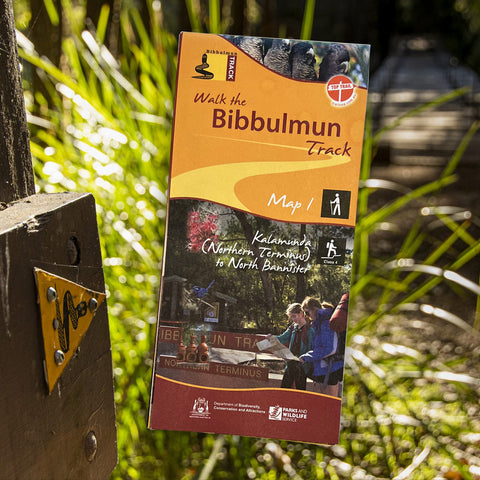
Bibbulmun Track Maps
$12.95
Map 1 - The Darling RangeThis map extends from Kalamunda (Northern Terminus) to North Bannister Map 2 - DwellingupThis map extends from North Bannister to...
View full product details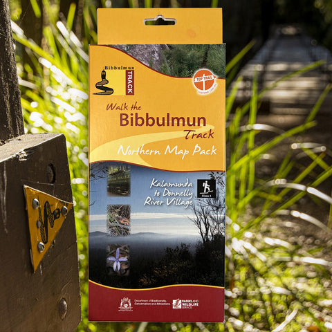


Bibbulmun Track Maps - Northern Map Pack 1-4
$39.95
Walk the Bibbulmun Track! This series of four maps covers the 502km northern section of the Bibbulmun Track between the Northern Terminus situated in Kalamunda...
View full product details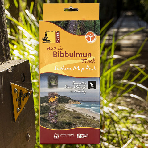


Bibbulmun Track Maps - Southern Map Pack 5 - 8
$39.95
This award-winning, world-class 1060km walking track stretches from the Perth Hills to Albany and traverses the most beautiful natural areas of Australia's south-west. It provides...
View full product details