
Bibbulmun Track Maps
$12.95
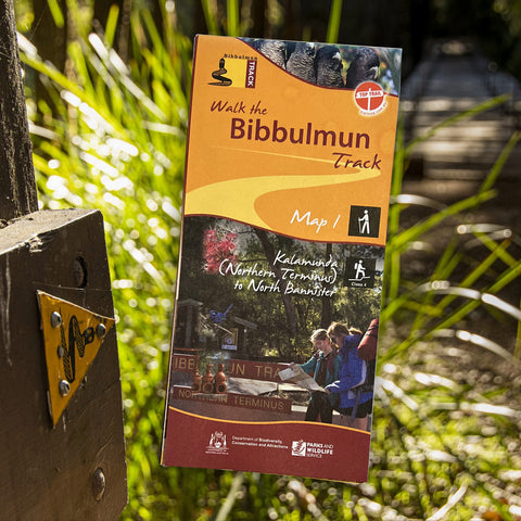
Map 1 - The Darling Range
This map extends from Kalamunda (Northern Terminus) to North Bannister
Map 2 - Dwellingup
This map extends from North Bannister to the Harvey-Quindanning Rd
Map 3 - Collie
This map extends from the Harvey-Quindanning Rd to Mumballup
Map 4 - Blackwood
This map extends from Mumballup to Brockman Highway.
Map 5 - Pemberton
This map extends from Brockman Highway to Middleton Rd.
Map 6 - Northcliffe
This map extends from Middleton Rd to Woolbales Campsite.
Map 7 - Walpole
This map extends from Woolbales campsite to William Bay campsite.
Map 8 - Denmark/Albany
This map extends from William Bay campsite to Albany (Southern Terminus).
Related Items
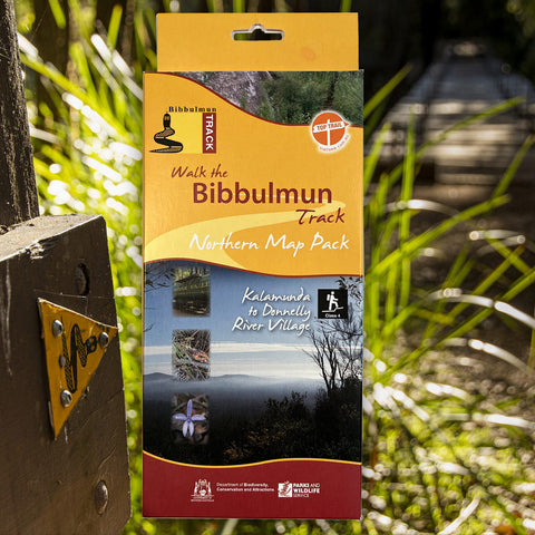


Bibbulmun Track Maps - Northern Map Pack 1-4
$39.95
Walk the Bibbulmun Track! This series of four maps covers the 502km northern section of the Bibbulmun Track between the Northern Terminus situated in Kalamunda...
View full product details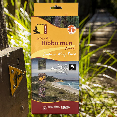


Bibbulmun Track Maps - Southern Map Pack 5 - 8
$39.95
This award-winning, world-class 1060km walking track stretches from the Perth Hills to Albany and traverses the most beautiful natural areas of Australia's south-west. It provides...
View full product details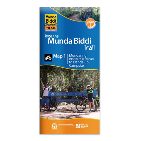

Munda Biddi Trail Maps
$12.50
There are seven maps covering the Trail Map 1. Mundaring to Dandalup Campsite, including the town of Jarrahdale and the Carinyah and Wungong Campsites. Map...
View full product details