- OUTDOOR EDUCATION
- RED ROADS
- TRANGIA
- Camp Kitchen
-
Gear
- Backpacks
- Daypacks & Bags
- Canvas Storage
- Clothing & Accessories
- Dry Storage
- Every Day Carry
- Fans & Coolers
- Footwear
- Headwear
- Headlamps
- Knives and Tools
- Lanterns
- Navigation
- Organisation
- Power Solutions
- Recovery Gear
- Repair & Maintenance
- Vehicle Accessories
- Torches
- Books
- Insect Protection
- Shower & Toilet
- Furry Friends
- Sleep
- Merch
- Gift Guide Under $50
- Clearance
- View All
- Sign in
Bibbulmun Track Maps - Northern Map Pack 1-4
$39.95
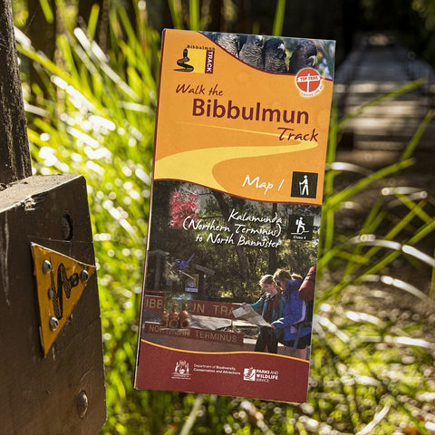
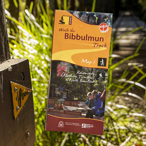
Walk the Bibbulmun Track!
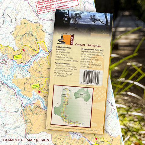
This series of four maps covers the 502km northern section of the Bibbulmun Track between the Northern Terminus situated in Kalamunda and the Jarrah forests of the Darling Scarp through to the Karri forests of the south-west and Donnelly River Village.
Included in this set are (note each map does not come in plastic sleeve):
Map 1 - The Darling Range
This map extends from Kalamunda (Northern Terminus) to North Bannister
Map 2 - Dwellingup
This map extends from North Bannister to the Harvey-Quindanning Rd
Map 3 - Collie
This map extends from the Harvey-Quindanning Rd to Mumballup
Map 4 - Blackwood
This map extends from Mumballup to Brockman Highway.
Collections: Hiking, Navigation
Related Items
Bibbulmun Track Maps
$12.95
Map 1 - The Darling RangeThis map extends from Kalamunda (Northern Terminus) to North Bannister Map 2 - DwellingupThis map extends from North Bannister to...
View full product detailsBibbulmun Track Maps - Southern Map Pack 5 - 8
$39.95
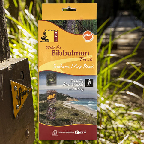
This award-winning, world-class 1060km walking track stretches from the Perth Hills to Albany and traverses the most beautiful natural areas of Australia's south-west. It provides...
View full product detailsMunda Biddi Trail Maps
$12.50
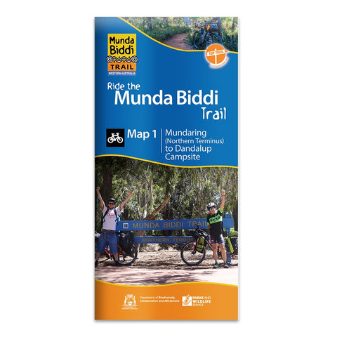
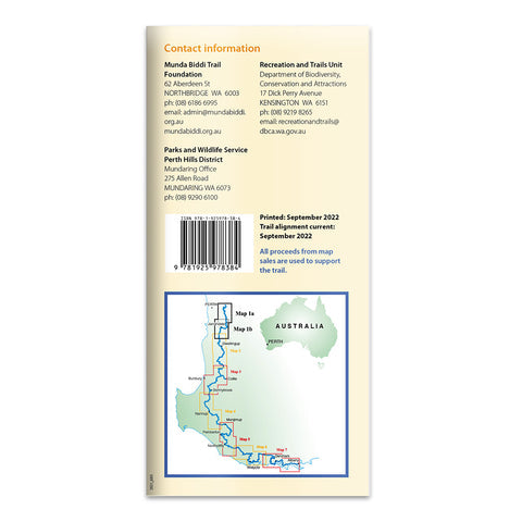
There are seven maps covering the Trail Map 1. Mundaring to Dandalup Campsite, including the town of Jarrahdale and the Carinyah and Wungong Campsites. Map...
View full product detailsFollow
(08) 9344 6252
Shop 9/58 Erindale Rd, Balcatta WA 6021
(We are in the same strip of shops as Altronics, Bridgestone, Down Range, Motion Cove, NextBike, Pack-n-Send, Solomons Carpets, WA Florists)
Sign up to hear all the latest news, new products, gift ideas and what's going on at Go Camping & Overlanding!
P.S Don't worry we won't bombard you - ain't nobody got time for that!


