
Munda Biddi Trail Maps
$12.50
There are seven maps covering the Trail
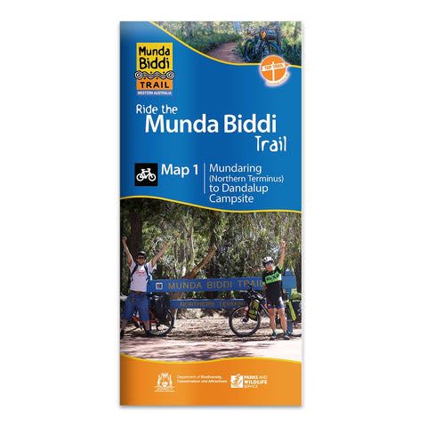
Map 1. Mundaring to Dandalup Campsite, including the town of Jarrahdale and the Carinyah and Wungong Campsites.
Map 2. Dandalup Campsite to Harvey-Quindanning Road, including the town of Dwellingup and the Bidjar Ngoulin Campsite.
Map 3. Harvey-Quindanning Road to Capel River, including the towns of Collie and Donnybrook and the Yarri and Nglang Boodja Campsites.
Map 4. Capel River to Waistcoat Road, including the town of Nannup, Donnelly River Village, and the Nala Mia and Karta Burnu Campsites.
Map 5. Waistcoat Road to Shannon River and includes the towns of Manjimup, Pemberton and Northcliffe.
Map 6. Shannon River to Kent River and includes the town of Walpole, as well as the Yirra Kartta, Kwokralup Beela and Booner Mundak Campsites.
Map 7. Kent River to Albany and includes the towns of Denmark and Albany, as well as the Jinung Beigabup Campsite.
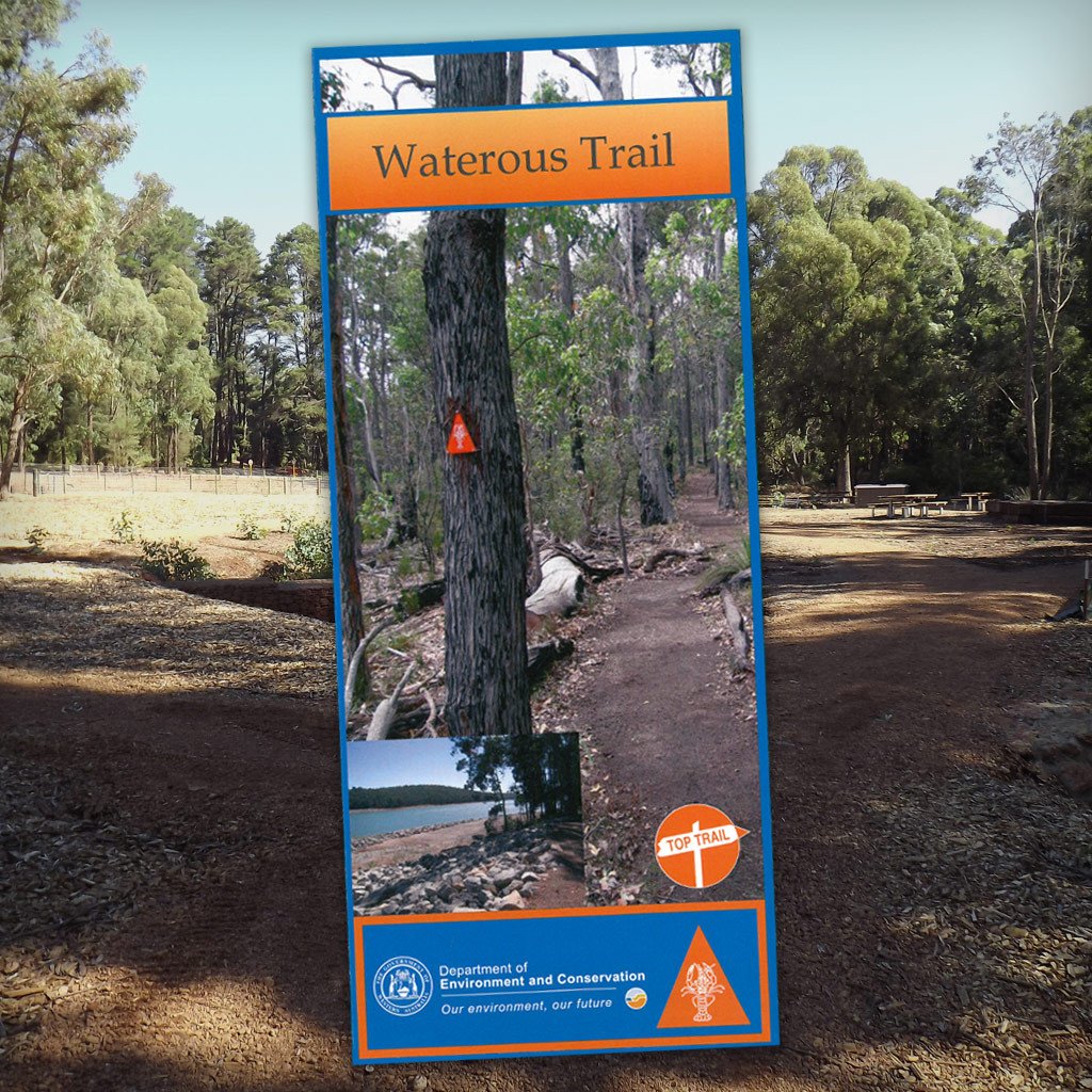
Waterous Cycling Trail Map - Edition 1 (2006).
Lake Navarino to Nanga campground loop.
This map follows the 62km loop trail from Lake Navarino (Waroona Dam), through the Munda Biddi Trail campsite of Bidjar Ngoulin and on to the Nanga Campground near Dwellingup. A ride to suit all levels of cycling experience.
Map Pack Option - This pack includes all seven maps covering the entire Munda Biddi Trail between the Northern Terminus in Mundaring and the Southern Terminus in Albany
Related Items

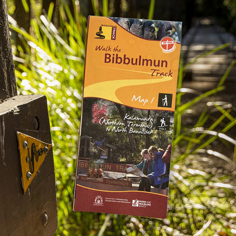
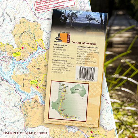
Bibbulmun Track Maps
$12.95
Map 1 - The Darling RangeThis map extends from Kalamunda (Northern Terminus) to North Bannister Map 2 - DwellingupThis map extends from North Bannister to...
View full product details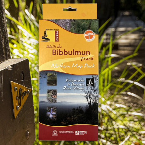


Bibbulmun Track Maps - Northern Map Pack 1-4
$39.95
Walk the Bibbulmun Track! This series of four maps covers the 502km northern section of the Bibbulmun Track between the Northern Terminus situated in Kalamunda...
View full product details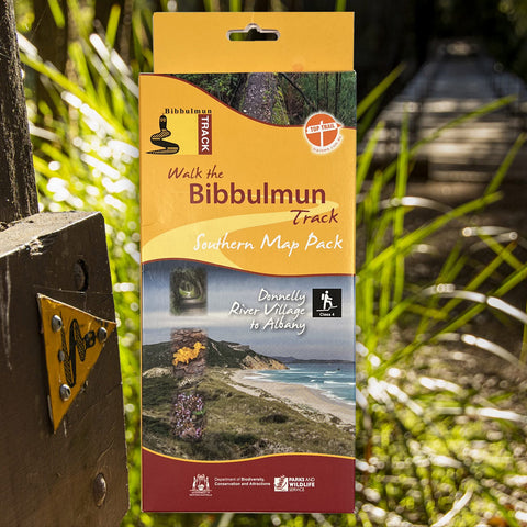


Bibbulmun Track Maps - Southern Map Pack 5 - 8
$39.95
This award-winning, world-class 1060km walking track stretches from the Perth Hills to Albany and traverses the most beautiful natural areas of Australia's south-west. It provides...
View full product details