


Hema Australia Handy Map
$11.95
The Australia Handy Map is a foldable, compact Australian map that is perfect as a journey planner or reference tool.
It shows national parks and major road networks with distances for planning, along with major city CBD maps for Brisbane, Melbourne, Sydney, Canberra, Darwin, Adelaide, Perth and Hobart on the reverse side, as well as a distance chart and a placename index for practical use.
Key Features
- Hema's iconic map of Australia
- Capital city maps
- National parks
- Road distances
- Indigenous lands
- Distance grid
- Fully indexed
Key Specifications
Edition: 12th
Publication Date: 01/10/22
Scale: 1:6,500,000
Folded size (WxHxD): 125mm x 250mm x 3mm
Flat size (WxH): 625mm x 750mm
Weight: 0.06kgs
Related Items

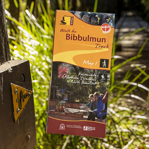
Bibbulmun Track Maps
$12.95
Map 1 - The Darling RangeThis map extends from Kalamunda (Northern Terminus) to North Bannister Map 2 - DwellingupThis map extends from North Bannister to...
View full product details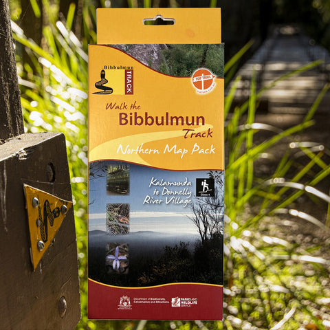


Bibbulmun Track Maps - Northern Map Pack 1-4
$39.95
Walk the Bibbulmun Track! This series of four maps covers the 502km northern section of the Bibbulmun Track between the Northern Terminus situated in Kalamunda...
View full product details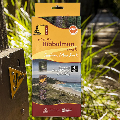


Bibbulmun Track Maps - Southern Map Pack 5 - 8
$39.95
This award-winning, world-class 1060km walking track stretches from the Perth Hills to Albany and traverses the most beautiful natural areas of Australia's south-west. It provides...
View full product details