
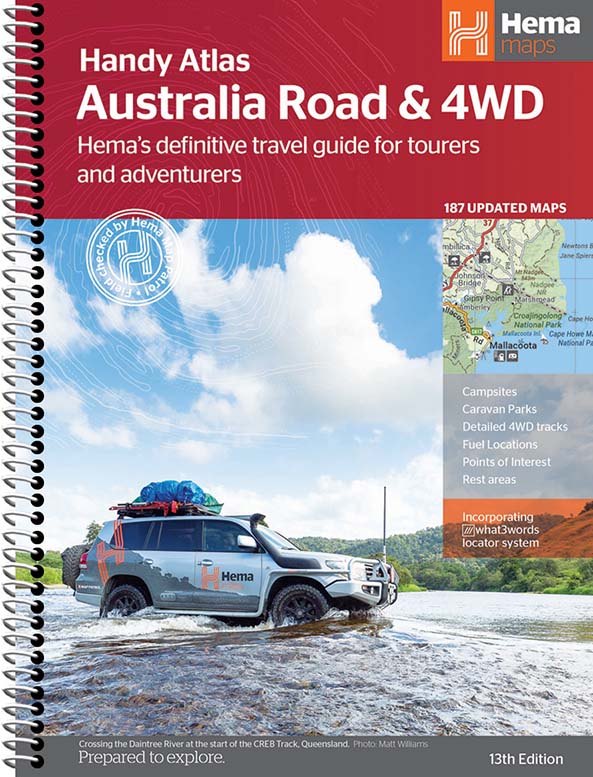
Hema Australia Road & 4WD Handy Atlas 185x248mm 13th Edition
$29.95
Featuring trusted Hema mapping for all of Australia, Hema's Australia Road & 4WD Handy Atlas is the definitive travel guide for tourers and adventurers. Hema atlases feature more information useful to travellers, including 4WD tracks, campsites, caravan parks, rest areas, 24-hour fuel and points of interest.
The new edition contains more mapping than ever before, which is enhanced by a striking new cartographic style that’s incredibly easy to read. Included in this is up-to-date mapping for Australia’s biggest 4WD destinations: Cape York, Fraser Island, the Top End, the Kimberley, the Pilbara, Central Australia, High Country Victoria and the Flinders Ranges.A handy distance grid, national park guide, list of accredited information centres and a complete index are also included to assist with trip planning and navigation, making it the perfect tool for guiding tourers, campers, road trippers and off-roaders throughout Australia.
What’s new in this edition:
- All new cartography
- Clear, easy-to-read style
- 188 new maps
- Featuring more detail for popular coastal areas
Product features:
- Detailed 4WD tracks
- Fuel
- Points of interest
- National parks
- Campsites
- Caravan parks
- Rest areas
- Road distances
- Fully indexed
Related Items


Bibbulmun Track Maps
$12.95
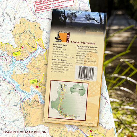
Map 1 - The Darling RangeThis map extends from Kalamunda (Northern Terminus) to North Bannister Map 2 - DwellingupThis map extends from North Bannister to...
View full product details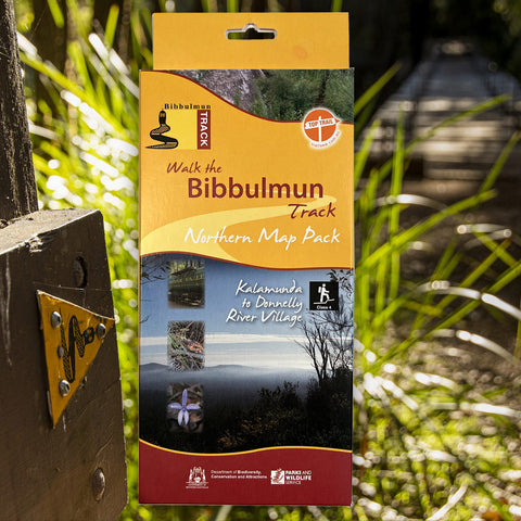


Bibbulmun Track Maps - Northern Map Pack 1-4
$39.95
Walk the Bibbulmun Track! This series of four maps covers the 502km northern section of the Bibbulmun Track between the Northern Terminus situated in Kalamunda...
View full product details


Bibbulmun Track Maps - Southern Map Pack 5 - 8
$39.95
This award-winning, world-class 1060km walking track stretches from the Perth Hills to Albany and traverses the most beautiful natural areas of Australia's south-west. It provides...
View full product details