- OUTDOOR EDUCATION
- RED ROADS
- TRANGIA
- Camp Kitchen
-
Gear
- Backpacks
- Daypacks & Bags
- Canvas Storage
- Clothing & Accessories
- Dry Storage
- Every Day Carry
- Fans & Coolers
- Footwear
- Headwear
- Headlamps
- Knives and Tools
- Lanterns
- Navigation
- Organisation
- Power Solutions
- Recovery Gear
- Repair & Maintenance
- Vehicle Accessories
- Torches
- Books
- Insect Protection
- Shower & Toilet
- Furry Friends
- Sleep
- Merch
- Gift Guide Under $50
- Clearance
- View All
- Sign in
Hema Top End and Gulf Map
$15.95
This regional waterproof map of the Top End and Gulf is ideal for discovering the northern parts of Australia's NT by 4WD. It includes a main map of the Darwin region, Judbarra / Gregory National Park, Nhulunbuy, Keep River National Park and Boodjamulla (Lawn Hill) National Park.
There is additional tourist information for Arnhem Land, the Roper River trek, Darwin region, Douglas-Daly district, Nature’s Way, Victoria Highway, Katherine Region and the Stuart Highway Region.
Key Features
- GPS surveyed roads and tracks
- Fuel stops
- Self-drive 4WD tracks
- Camping areas
- Historic sites
- Detailed National Park inset maps
- Waterproof paper
Key Specifications
Edition: 7th
Publication Date: 01/07/19
Scale: 1:1,650,000
Folded size (WxHxD): 140mm x 250mm x 3mm
Flat size (WxH): 700mm x 1000mm
Weight: 0.09kgs
Collections: HEMA, Navigation
Related Items
Bibbulmun Track Maps
$12.95
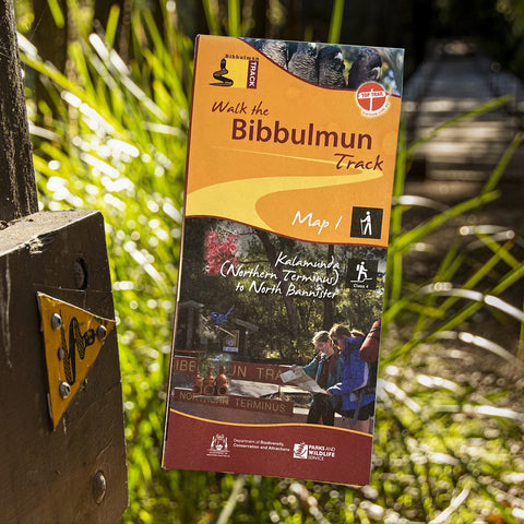
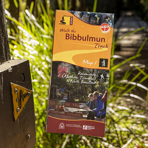
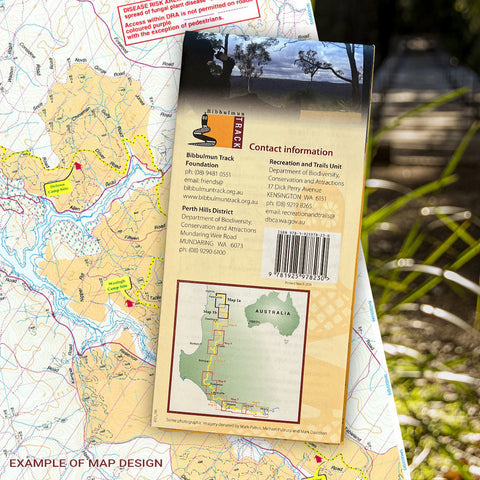
Map 1 - The Darling RangeThis map extends from Kalamunda (Northern Terminus) to North Bannister Map 2 - DwellingupThis map extends from North Bannister to...
View full product detailsBibbulmun Track Maps - Northern Map Pack 1-4
$39.95
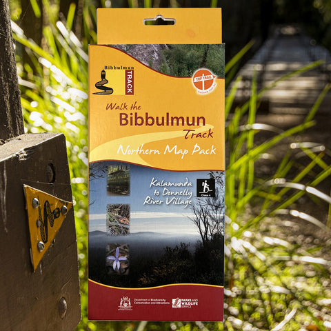
Walk the Bibbulmun Track! This series of four maps covers the 502km northern section of the Bibbulmun Track between the Northern Terminus situated in Kalamunda...
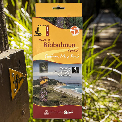
View full product detailsBibbulmun Track Maps - Southern Map Pack 5 - 8
$39.95
This award-winning, world-class 1060km walking track stretches from the Perth Hills to Albany and traverses the most beautiful natural areas of Australia's south-west. It provides...
View full product detailsFollow
(08) 9344 6252
Shop 9/58 Erindale Rd, Balcatta WA 6021
(We are in the same strip of shops as Altronics, Bridgestone, Down Range, Motion Cove, NextBike, Pack-n-Send, Solomons Carpets, WA Florists)
Sign up to hear all the latest news, new products, gift ideas and what's going on at Go Camping & Overlanding!
P.S Don't worry we won't bombard you - ain't nobody got time for that!

